River Thames Conditions' Widgets
Non-Tidal/Tidal
The ultimate conditions' widgets
Non-Tidal:
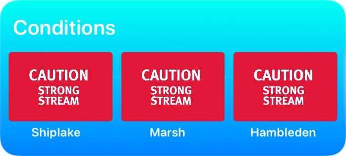
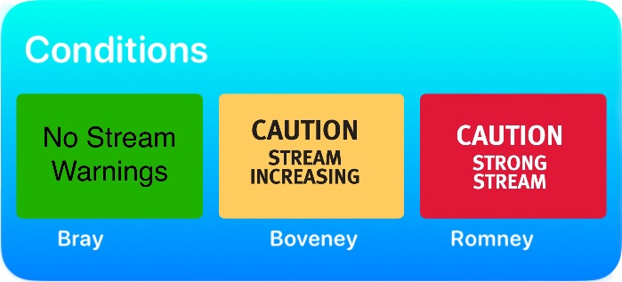
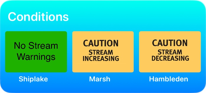
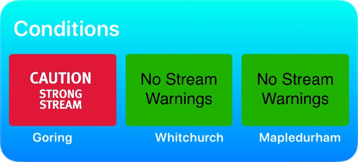
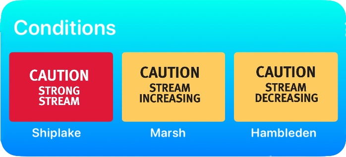
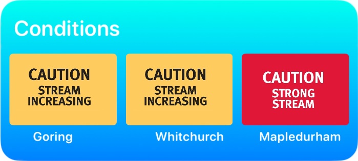
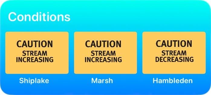
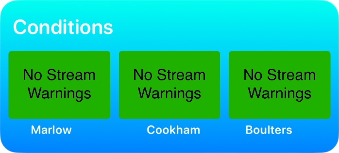
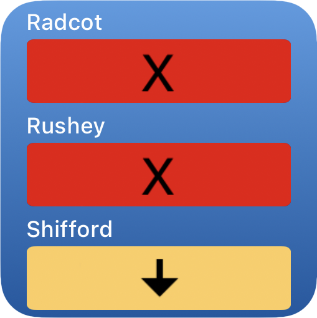
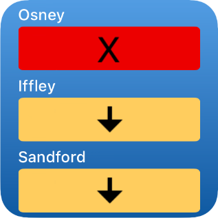
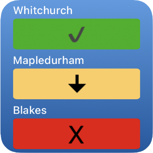
-three stretch widget (medium)
-three stretch widget (compact)
Tidal:
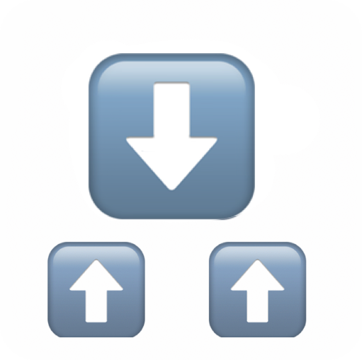
-current Fluvial state
Permanent display on any screen:
-iPhone, iPad, Mac
Updated in real time
Multiple copies if you wish
Free to download, install and use
and much more...
Platforms
Works on these platforms

iPhone
iPad
Mac
Installation
Not a standard widget, so needs three easy steps

1. Download the Scriptable app (Free)
2. Download the Conditions file or files (Free)
3. Add to Today and/or Home Screen(s)
Detailed set up instructions:
Download the Scriptable app
The Scriptable app (which is free to download, install and use) needs to be downloaded and installed on each device where you wish to display a Conditions widget. Simply download from the Apple App Store.
Open Scriptable before step 2
This will ensure Scriptable creates a folder in your iCloud into which scripts are moved after downloading in Step 2.
You will need to download a Script for each widget you wish to use (non-tidal scripts offer small and medium widgets; tidal is small widget only). Each download must be saved to the Scriptable folder in iCloud. Click the button below to see the full set of pre-made non-tidal and tidal Scripts.
Clicking a link will download and save the Script in your Downloads folder.
You should now drag and drop (Mac) or long press and Move (iOS, iPadOS) the Script file(s) into iCloud/Scriptable. Next, please move to Step 3 to install your widget(s) - all widgets are ready to use once downloaded and moved as described.
The final step is to add your Widget(s) to your Home or Today screen.
Adding widgets
How to instal your Conditions Widget
Apple's generic widget instructions.
Choose Scriptable and the right size widget
For the compact or tidal widget, choose the small widget; for the larger non-tidal widget choose the medium size; then follow Apple's set up instructions. For non-tidal select the script whose name contains the middle stretch to view (for example: download 'RTG - Marsh' to see live conditions for Shiplake, Marsh and Hambleden stretches) and/or download TidalFlows for tidal flows.
For more than three stretches
If you wish to monitor conditions on more than three stretches, simply install one or more additional widgets.
Conditions Updates
Each time the widget self-updates, the current conditions are downloaded from the EA site. Updates occur at roughly 15-30 minute intervals and this is a function of iOS (or iPadOS); forcing the widget to update is only possible by removing it and reinstalling.

Bonus!
To see the conditions for every stretch
Download the free River Thames Guide app
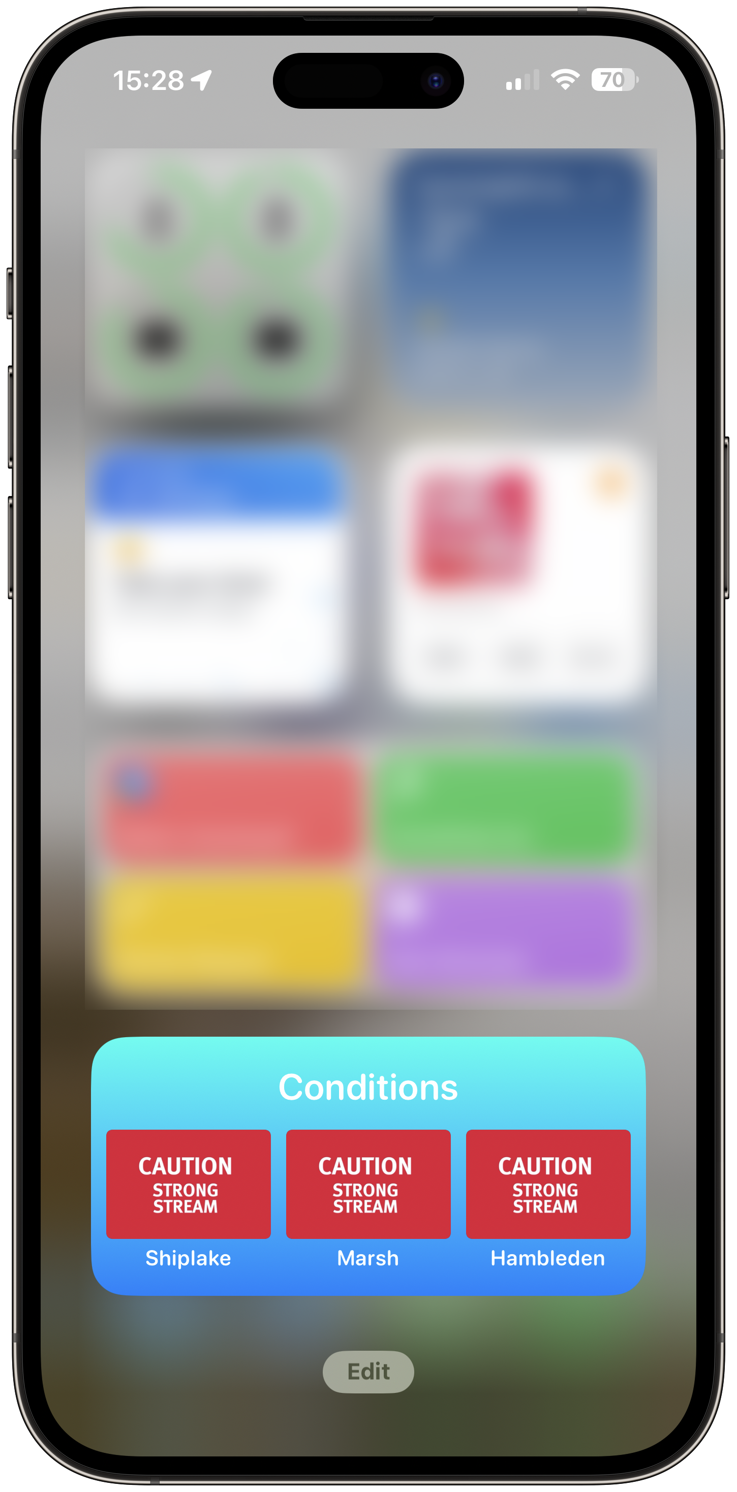
Tap 'Conditions'
To open the view to see all non-tidal conditions.
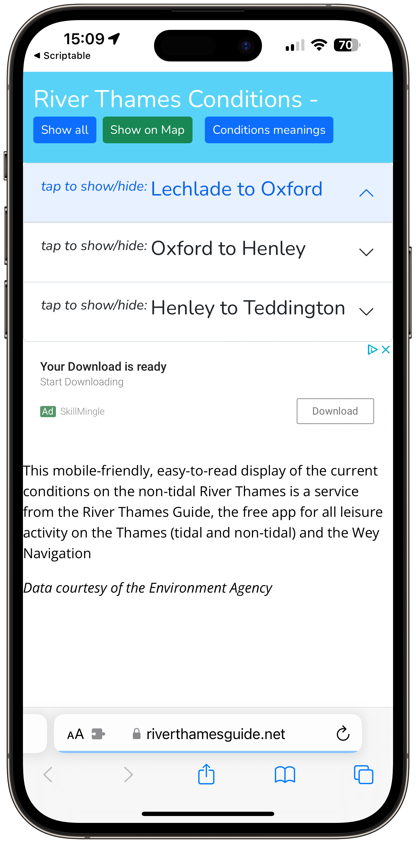
Choose section to view
Lechlade to Oxford; Oxford to Henley; Henley to Teddington.
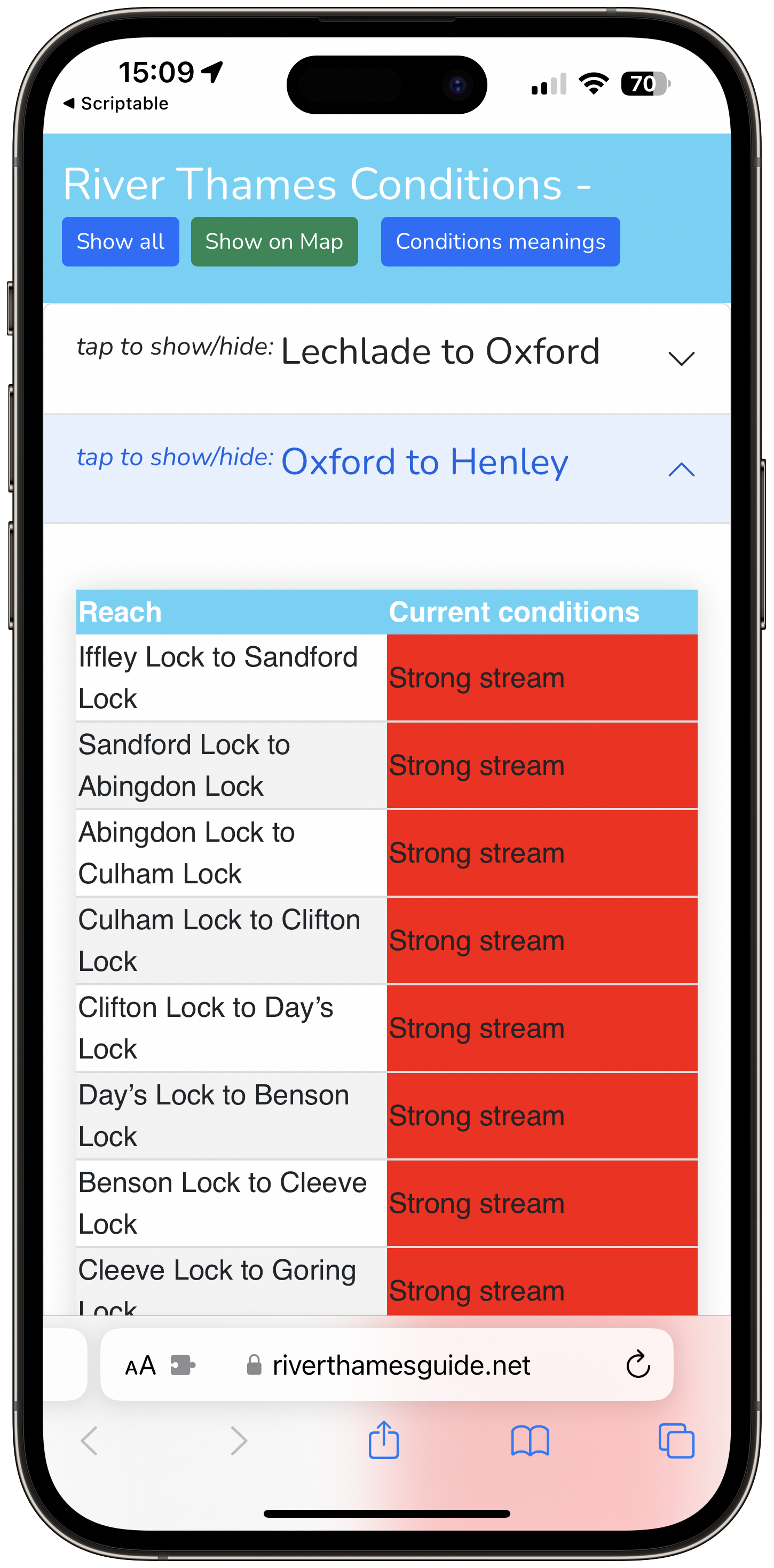
Current conditions for chosen stretches
Tap another section to change view.
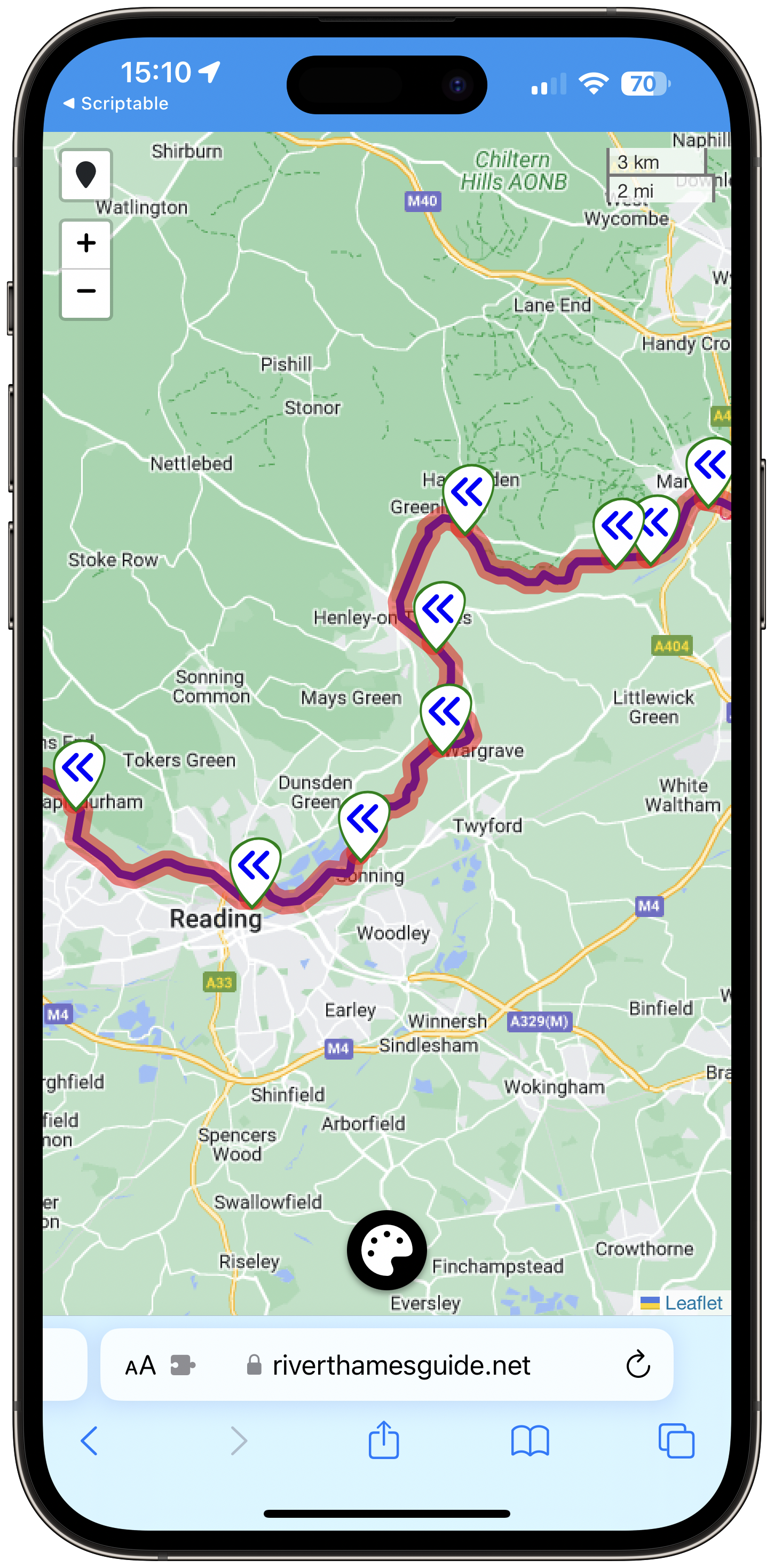
Open Interactive Conditions map
See the entire non-tidal river overlayed with the current condition for each stretch.
Widget F.A.Q
Frequently Asked Questions
Free app guide to tidal and non-tidal Thames and Wey Navigation
The RiverThamesGuide app for all leisure activities on the Thames
RiverThamesGuide app
Interactive Map
Overlay a map of the river with any combination of locks, moorings, marinas, bridges, sanitation, fishing, camping, fuel, pubs, Thames path, Emergency RV points.
Journey Planner
Choose from 100+ locations (for Thames; 40+ on Wey) and find the sailing distance, sailing time (at 5, 4, 3, 2 , 1 mph) and number of locks to transit.
Current Conditions
Link to EA site for current conditions on non-tidal Thames; better still, install the Non-Tidal Thames Shortcut (includes option to see map overlayed with live conditions).
River Weather
See the current and short term forecast for selected locations on the River Thames.
Clearances
Check the clearance (expected gap between water and underside of bridge) for any of the bridges; find the expected water depth for any section.
Advice and Guidance
Read the official guidance for safe boating; check the safety steps prior to sailing; read what to do in an emergency; check nautical terms in the Glossary.
Testimonials
What users say about the app

